

- Stock: In Stock
- Product code: 00-00012988

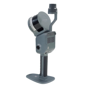
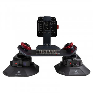
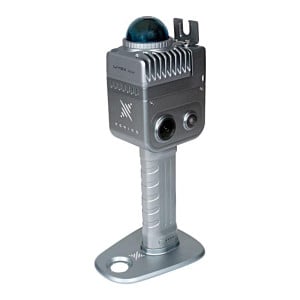
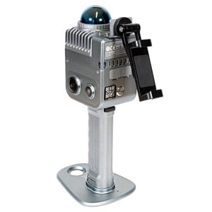
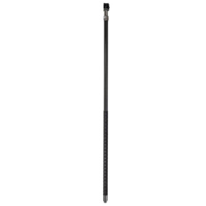
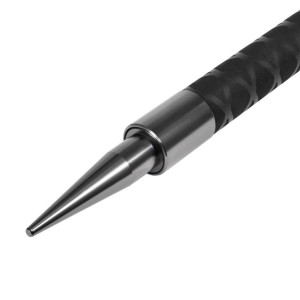
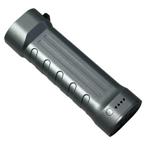
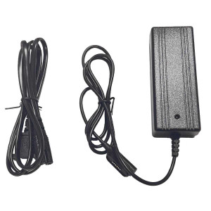
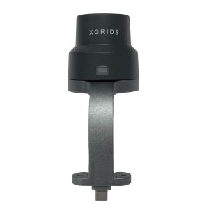
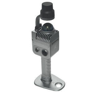
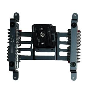
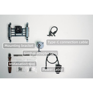
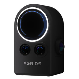
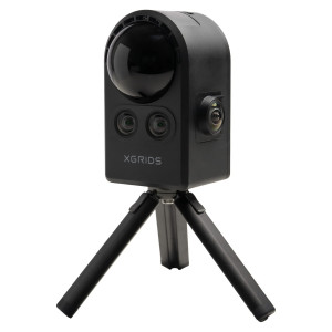
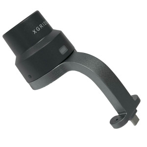
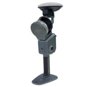
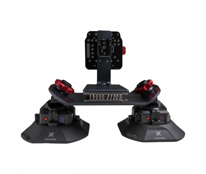
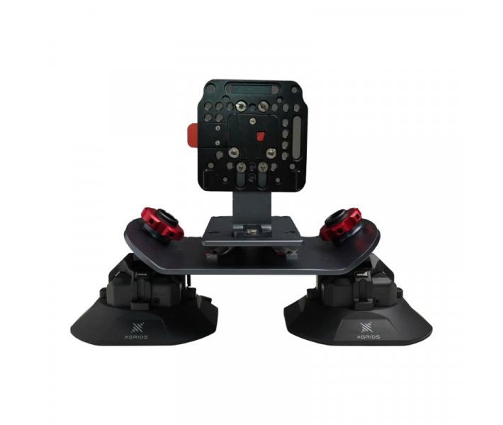
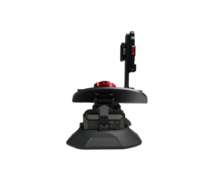
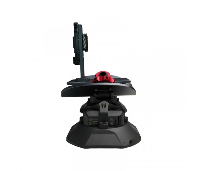
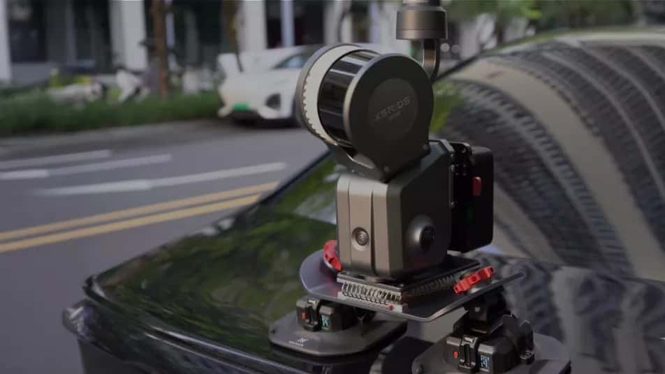
The Vehicle Mount for XGRIDS L2 Pro is a dedicated mobile mapping platform that transforms the XGRIDS L2 Pro handheld LiDAR scanner into a vehicle-based surveying solution. Engineered for road mapping, infrastructure inspection, utility documentation, and large-scale geospatial data collection, it provides a stable mounting platform with intelligent vacuum monitoring and real-time point cloud visualization. By enabling accurate data capture while the vehicle is moving, the system helps survey teams complete projects faster without compromising measurement quality.
Key Specifications
| Specification | Value | Why it matters |
|---|---|---|
| Recommended Survey Speed | 20–30 km/h (up to 40 km/h) | Captures high-quality LiDAR data efficiently while reducing survey time over large areas. |
| Relative Accuracy | 2 cm | Ensures repeatable measurements for engineering surveys and infrastructure documentation. |
| Absolute Accuracy | 3 cm (Horizontal) / 5 cm (Vertical RMSE) | Produces reliable georeferenced point clouds suitable for professional mapping applications. |
| Operating Time | Up to 3 hours | Supports extended mobile surveying sessions with fewer interruptions. |
Key Benefits
The Vehicle Mount for XGRIDS L2 Pro significantly increases surveying productivity by allowing LiDAR data collection while the vehicle is in motion. Its intelligent vacuum mounting system continuously checks attachment stability throughout the survey, while live point cloud visualization enables operators to verify scan quality instantly. Together, these features help reduce repeat field visits, improve workflow efficiency, and ensure reliable results during large-scale mapping projects.
Mobile LiDAR Mapping
Designed specifically for the XGRIDS L2 Pro, the Vehicle Mount converts a handheld scanner into a mobile mapping platform capable of collecting dense point cloud data across roads, industrial sites, campuses, railways, and other extensive outdoor environments. Instead of performing multiple static scans, surveyors can capture continuous spatial information while driving, dramatically improving field productivity.
This workflow is particularly effective for projects covering long distances or large areas where conventional terrestrial scanning would require significantly more time and equipment repositioning.
Secure Vacuum Mounting System
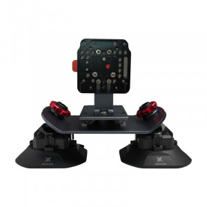
The mounting platform uses an industrial-grade vacuum attachment system engineered for reliable operation during mobile surveying. Built-in monitoring continuously checks suction pressure and immediately alerts the operator if mounting stability changes during operation.
Maintaining a secure connection throughout the survey not only protects the scanner but also helps preserve measurement consistency by minimizing vibration and unwanted movement caused by uneven road surfaces.
Real-Time Point Cloud Monitoring
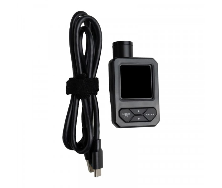
During data acquisition, operators can monitor the generated point cloud in real time without stopping the vehicle. Live visualization makes it easy to identify missing coverage, tracking interruptions, or areas requiring additional scanning before leaving the site.
Immediate quality control reduces the likelihood of costly return visits and allows survey teams to complete projects with greater confidence and efficiency.
Optimized for Mobile Surveying
The Vehicle Mount has been developed for fast and reliable mobile mapping. Recommended operating speeds between 20 and 30 km/h provide an ideal balance between point cloud density and survey productivity, while the system remains effective at speeds of up to 40 km/h when project conditions require faster coverage.
Combined with the XGRIDS L2 Pro scanner, the platform offers an efficient solution for surveying highways, municipal infrastructure, utility corridors, industrial facilities, construction sites, and other large-scale outdoor environments where rapid data acquisition is essential.