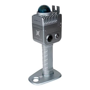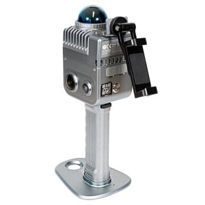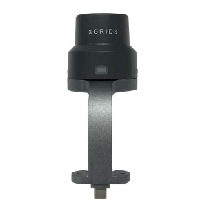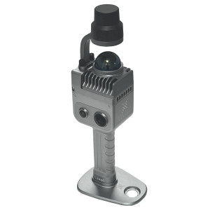


XGRIDS K1 RTK Module – Satellite positioning module
- Stock: In Stock
- Product code: 00-00012546

₴101 250.00
Ex Tax: ₴101 250.00
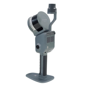
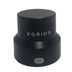
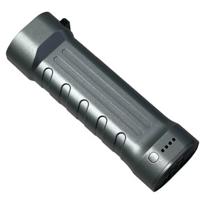
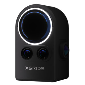
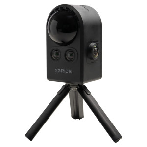
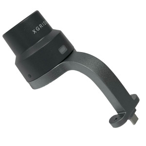
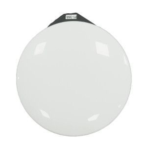
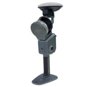
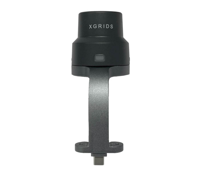
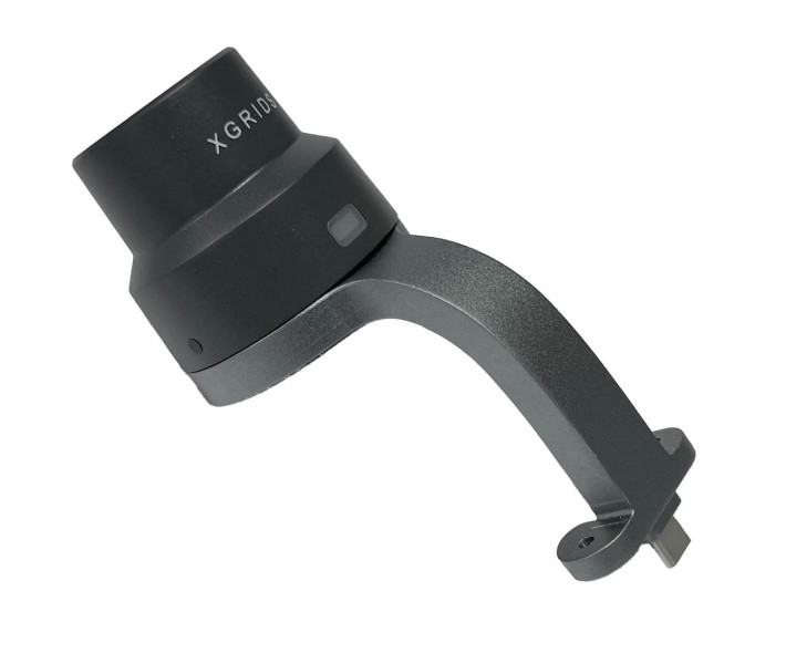
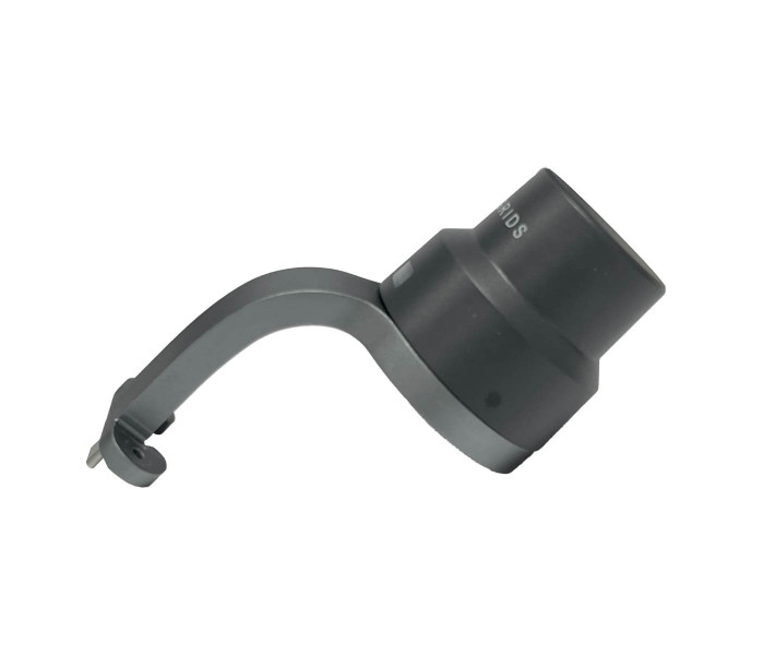
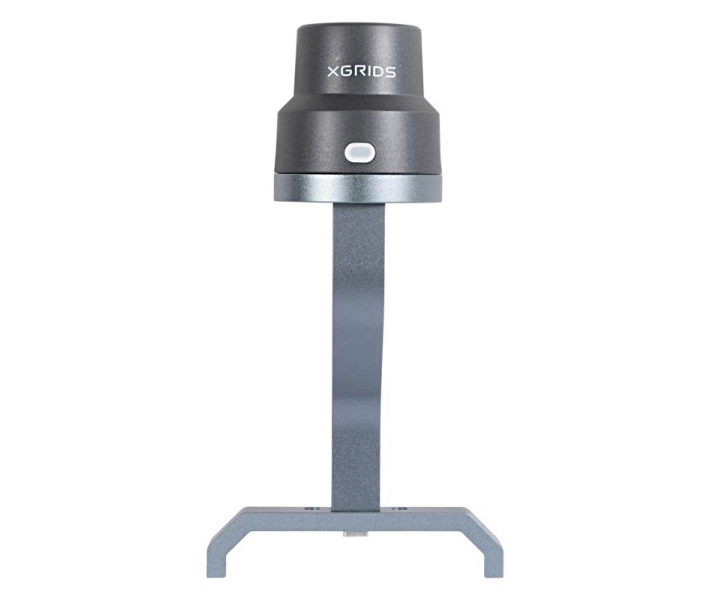
RTK Module for Satellite Positioning for XGRIDS K1
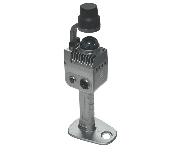
The RTK (Real-Time Kinematic) module for the XGRIDS Lixel K1 3D scanner is an add-on that provides high-precision real-time satellite positioning. It allows you to link 3D point clouds not just to the initial scanner position (SLAM), but to a global coordinate system, which is especially important for tasks in topography, geodesy, cadastre, or construction control.
Specifications
- Absolute accuracy: up to ~3 cm.
- Relative accuracy (between points in one scan): approximately 1.2 cm.
- Repeatability:around 2 cm.
- Supported satellite systems:GPS (L1/L2/L5), GLONASS (L1/L2), BDS (B1/B2/B3), Galileo (E1/E5a/E5b/E6b).
- Operating conditions / requirements:mainly outdoor spaces where the RTK signal is stable. In case of a weak signal or in enclosed spaces, the module may not be able to provide a fixed solution.
- Status indication device:LED indicator (red, blue, green):
- red - RTK not connected;
- blue - connected, but "unfixed" solution;
- green - stable, "fixed" solution.
- Compatibility:works with XGRIDS / Lixel K1 (handheld portable LiDAR scanner) and the corresponding software (LixelGO, LixelStudio).
- Weight and dimensions:gross ~0.170 kg, net ~0.110 kg.
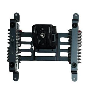
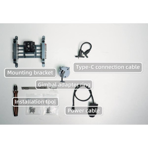
- Mounting:features a quick and reliable attachment to the scanner body, no complex tools required.
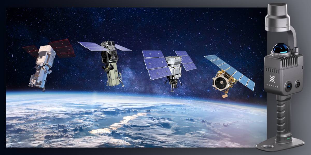
Advantages of using the RTK module with the XGRIDS K1 3D scanner
- Geo-referencing "from the field" — the point cloud is immediately provided with coordinates in the global system, eliminating the need for lengthy post-processing or manual calibration during stitching.
- Improved accuracy — thanks to RTK, an absolute error of about 3 cm is achieved, which is critical for a number of tasks (engineering, monitoring, cadastre).
- Time reduction — processes that usually take significant time after scanning can now be significantly accelerated or minimized.
- Increased reliability — when SLAM tracking loses stability (e.g., in difficult terrain, between buildings, in a forest), the RTK module helps maintain accuracy and referencing.
- Wide range of applications — from architecture and construction to cartography, agriculture, archaeology, cultural heritage, VR/AR models, and digital twins.
- Scalability and compatibility — the module easily integrates into the existing K1 system, uses the same software (LixelGO, LixelStudio), and supports different coordinate systems.
Using RTK XGRIDS in various fields
- Geodesy, cadastre:for precise topographic surveys, boundary determination, especially when legal and technical data reliability is required.
- Construction / infrastructure control:monitoring of deformations, checking the condition of foundations, roads, engineering utilities — at least geo-referencing + high accuracy.
- Architecture, digital twins:when models of buildings, cultural objects must precisely align in space, for BIM, VR, visualization.
- Agriculture, forestry, land management:calculation of areas, volumes, location of objects on large territories — centimeter errors can lead to noticeable mistakes.
- Archaeology, cultural heritage:details, characteristic features of the terrain, location of artifacts — everything important in a historical context requires precise position specification.
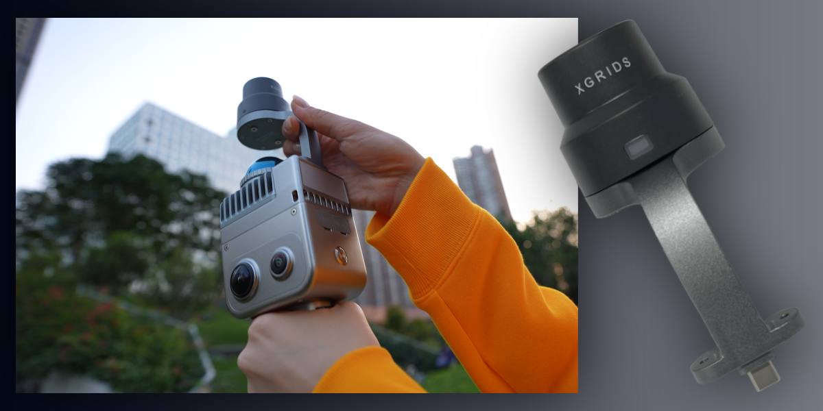
How the module improves the 3D scanning process
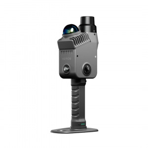
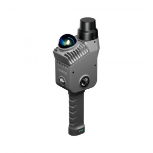
- Installation:is added to the scanner body by connecting via a bracket, fixed without tools.
- Startup and setup:the RTK mode is activated via the LixelGO app, NTRIP settings are entered, or a provider is selected, and you wait for a fixed solution.
- Scanning:in RTK mode,scanning 3D is performed as usual, but each point cloud receives geographic referencing "on the fly."
- Processing:points with coordinates are imported into LixelStudio; there is no need to manually align or correct positioning.
You can choose 3D accessoriesfor different tasks, and learn about the capabilities of 3D scanning and 3D printing on our website or by phone. Call us, come visit: we know a lot about modern 3D technologies and will be happy to introduce you to the best new products in these fields.