We use cookies and other tracking technologies to improve the website, personalize content, and analyze traffic. You can adjust your settings in the settings.
Necessary cookies enable core functionality of the website. Without these cookies the website can not function properly.
Statistic cookies help website owners to understand how visitors interact with websites by collecting and reporting information anonymously.
A set of cookies to collect information and report about website usage statistics without personally identifying individual visitors to Google.
Marketing cookies store user data and behavior information, which allows advertising services to target more audience groups.
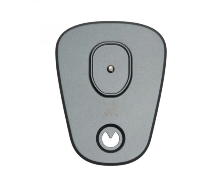
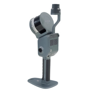
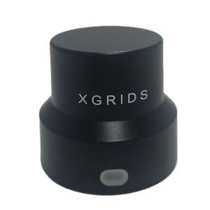
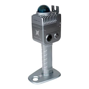
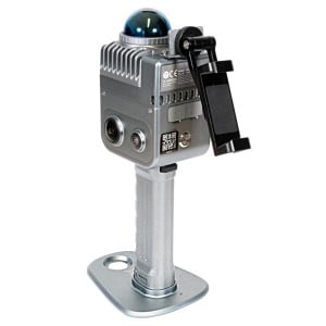
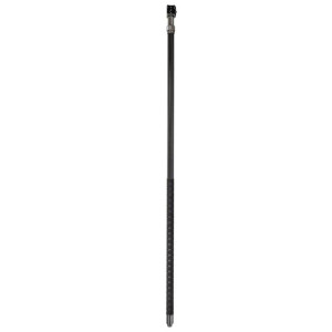
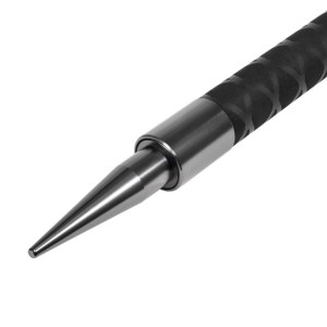
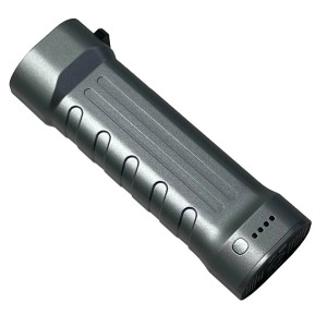
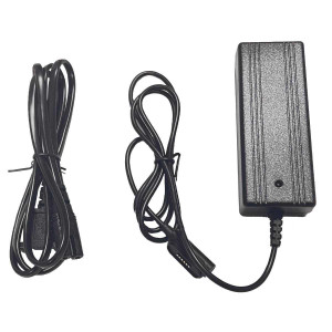
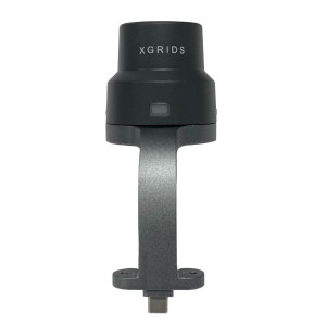
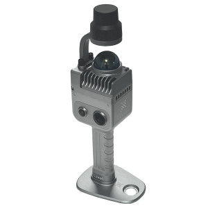
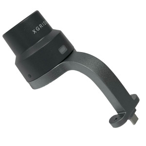
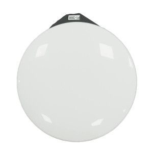
GCP Plate for Precise Positioning of the 3D Scanner XGRIDS Lixel K2
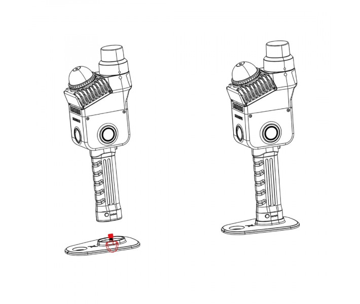
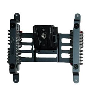
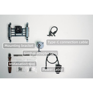
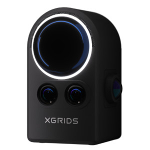
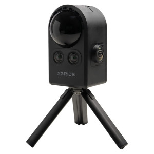
GCP Target Plate — a component for working with ground control points during 3D scanning using the XGRIDS Lixel K2. It ensures precise positioning of the scanner in specified coordinates and helps to link the obtained point cloud to the absolute coordinate system during further data processing in LixelStudio.
Functions of the GCP Target Plate
used together with the handheld 3D scanner XGRIDS Lixel K2;
helps to set the scanner directly in the specified position;
supports the process of linking scanning results to absolute coordinates;
can be used with standard control markers or special targets;
integrates into the standard GCP collection process via LixelGO and further processing in LixelStudio.
Coordinate Linking Using GCP
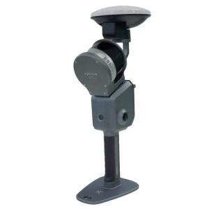
The use of external GCPs is one of the ways to obtain georeferenced data. During this process, the Lixel K2 is set up along with the battery and the GCP base. When the operator approaches the predetermined location, the edges of the plate are aligned with the position of the ground control point. Standard control markers or special targets can be used as landmarks. After positioning, the GCPs are registered through the appropriate mode in LixelGO.
For each registered GCP, the system stores the corresponding data, which is later used during project processing. In LixelStudio, external GCP coordinates can be matched with the registered landmarks during scanning to transform the survey results into the required coordinate system.
Recommendations for Placing GCPs
To work with absolute coordinates, it is recommended to use at least 3 GCPs. They should be evenly distributed across the survey area and should not be placed in a straight line.
For the Lixel K2, the manufacturer also recommends:
placing neighboring GCPs at a distance of less than 50 m;
distributing them evenly within the scanned area;
after registering the GCP, moving the scanner smoothly, without abrupt movements;
after fixing the GCP, walking around the landmark 1–2 times or pausing nearby to obtain more complete data of the surrounding point cloud area;
before finishing the recording after the last GCP, waiting at least 15 seconds.
Applications
The GCP target plate is used in projects where scanning data needs to be linked to known GCP coordinates. This approach is used for:
geodetic and spatial measurements;
engineering surveys;
surveying buildings and infrastructure objects;
forming point clouds in the absolute coordinate system;
projects where the use of RTK is unavailable or impractical.
The method with external GCPs can be applied both indoors and outdoors, whereas working through RTK requires an appropriate signal and suitable external conditions.
Compatibility
Parameter
Value
Compatible Equipment
XGRIDS Lixel K2
Purpose
Working with external GCPs
Data Collection Management
LixelGO
Further Processing
LixelStudio
Supported GCP Landmarks
Standard control markers or special targets
Minimum Number of GCPs
3
Recommended Distance Between Neighboring GCPs
Less than 50 m
GCP Usage Conditions
Indoors and outdoors
Buy GCP Target Plate for 3D Scanner XGRIDS Lixel K2 in Ukraine
For consultation and clarification of details, contact our specialists. We will help you select the necessary equipment and accessories for your workflow. We provide delivery across Ukraine.
Key Parameters
ModelXGRIDS K2
Country of originChina
XGRIDS Official Representative
Official Representative XGRIDS in Ukraine
Drawing on over a decade of experience in 3D technologies and our status as an Official Representative XGRIDS in Ukraine, 3DDevice provides comprehensive support and professional solutions for 3D spatial scanning:
✔ Assistance in selecting equipment tailored to your specific tasks and budget
GCP Plate for Precise Positioning of the 3D Scanner XGRIDS Lixel K2GCP Target Plate — a component for working with ground control points during 3D sca..
3D Scanner with Color Cameras XGRIDS L2 Pro 16/120 Standard Package
The 3D scanner with color cameras and LiDAR XGRIDS L2 Pro 16/120 is an advanced ha..
3D Scanner for Construction XGRIDS L2 Pro 32/120
XGRIDS L2 Pro 32/120 is a professional portable SLAM scanner for architects and builders.
It can also..
3D scanner for landscape works XGRIDS L2 Pro 32/300 Standard Package
The XGRIDS L2 Pro 32/300 3D scanner for landscape works will help to increase the..
XGRIDS K1 Extension Pole Kit – set of poles for remote 3D scanning
The XGRIDS K1 Extension Pole Kit is a specialized accessory for the XGRIDS Lixel K1..
RTK Module for Satellite Positioning for XGRIDS K1
The RTK (Real-Time Kinematic) module for the XGRIDS Lixel K1 3D scanner is an add-on that provides
..
XGRIDS L2 Drone Mount: Bracket for attaching a 3D scanner to a Drone
The XGRIDS L2 Drone Mount (sometimes called a Drone Mounting Bracket or UAV Mount..
3D Scanning with XGRIDS L2 Pro Extension Pole Kit
The XGRIDS L2 Pro Extension Pole Kit is a professional accessory designed for the XGRIDS Lixel L2 Pr..
XGRIDS L2 Pro backpack — Strap backpack for XGRIDS L2 Pro 3D scanners
The XGRIDS L2 Pro 3D scanner strap backpack is a specialized accessory for comfo..
Portable Battery for XGRIDS L2 Series 3D Scanners The portable battery for XGRIDS L2 / L2 Pro is an external power unit designed to extend the autono..
XGRIDS PortalCAM 3D Camera – Capturing Reality in Digital Space
XGRIDS PortalCAM is an innovative new-generation 3D camera designed for precise spatia..
XGRIDS Survey Grade RTK Kit – 3D Scanning in Difficult Conditions
The XGRIDS Survey Grade RTK Kit is a high-precision satellite positioning module (RT..
Lixel Cyber Color: software for XGRIDS 3D scanners
Lixel Cyber Color (LLC, also "Lixel CyberColor Studio") is a software package from XGRIDS that allo..
3D Scanner with Color Cameras XGRIDS L2 Pro 16/120 Standard Package
The 3D scanner with color cameras and LiDAR XGRIDS L2 Pro 16/120 is an advanced ha..
3D Scanner for Construction XGRIDS L2 Pro 32/120
XGRIDS L2 Pro 32/120 is a professional portable SLAM scanner for architects and builders.
It can also..
3D scanner for landscape works XGRIDS L2 Pro 32/300 Standard Package
The XGRIDS L2 Pro 32/300 3D scanner for landscape works will help to increase the..
XGRIDS K1 Extension Pole Kit – set of poles for remote 3D scanning
The XGRIDS K1 Extension Pole Kit is a specialized accessory for the XGRIDS Lixel K1..
RTK Module for Satellite Positioning for XGRIDS K1
The RTK (Real-Time Kinematic) module for the XGRIDS Lixel K1 3D scanner is an add-on that provides
..
XGRIDS L2 Drone Mount: Bracket for attaching a 3D scanner to a Drone
The XGRIDS L2 Drone Mount (sometimes called a Drone Mounting Bracket or UAV Mount..
3D Scanning with XGRIDS L2 Pro Extension Pole Kit
The XGRIDS L2 Pro Extension Pole Kit is a professional accessory designed for the XGRIDS Lixel L2 Pr..
XGRIDS L2 Pro backpack — Strap backpack for XGRIDS L2 Pro 3D scanners
The XGRIDS L2 Pro 3D scanner strap backpack is a specialized accessory for comfo..
Portable Battery for XGRIDS L2 Series 3D Scanners The portable battery for XGRIDS L2 / L2 Pro is an external power unit designed to extend the autono..
XGRIDS PortalCAM 3D Camera – Capturing Reality in Digital Space
XGRIDS PortalCAM is an innovative new-generation 3D camera designed for precise spatia..
XGRIDS Survey Grade RTK Kit – 3D Scanning in Difficult Conditions
The XGRIDS Survey Grade RTK Kit is a high-precision satellite positioning module (RT..
Lixel Cyber Color: software for XGRIDS 3D scanners
Lixel Cyber Color (LLC, also "Lixel CyberColor Studio") is a software package from XGRIDS that allo..