


- Stock: In Stock
- Product code: 00-00012540
- Shipping Weight: 2.30kg
XGRIDS Survey Grade RTK Kit – 3D Scanning in Difficult Conditions
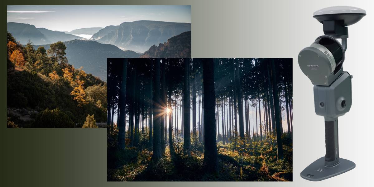
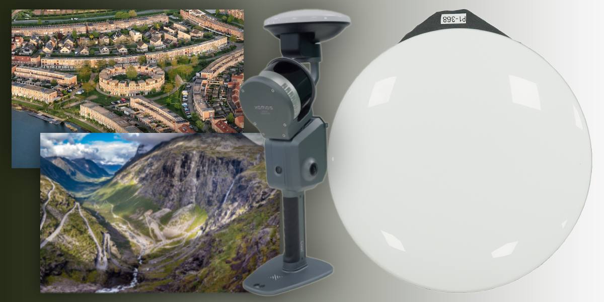
The XGRIDS Survey Grade RTK Kit is a high-precision satellite positioning module (RTK — Real Time Kinematic) designed specifically for XGRIDS Lixel L2 Pro series scanners. It is intended to provide geo-referencing of point clouds with survey-grade accuracy, even in conditions where standard GNSS or SLAM solutions fail: dense urban areas, forests, between buildings where sky visibility is limited.
Key Features and Properties
Supported satellite navigation systems:
- GPS (L1, L2, L5)
- GLONASS (L1, L2)
- BeiDou / BDS (B1, B2, B3)
- Galileo (E1, E5a, E5b, E6b)
Positioning accuracy:
- Horizontal: 0.8 cm + 1 ppm
- Vertical: 1.5 cm + 1 ppm
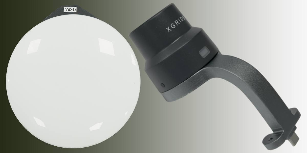
Package contents: Survey Grade RTK module, bracket for mounting on XGRIDS Lixel L2 Pro, set of screws for quick fixation
Module weight: about 0.300 kg
Operating temperature range: from −20 °C to +50 °C
Housing protection (IP): IP54 for XGRIDS L2 Pro and modifications (the module meets levels where the device is protected from splashes and dust)
The Survey Grade RTK Kit is compatible with:
- XGRIDS Lixel L2 Pro 3D scanners: all variants (models with different LiDAR channels and ranges)
- Software/algorithms that already work with RTK corrections and GNSS data (SLAM-fusion, visual inertial system + GNSS)
- Supports the integration of point clouds into GIS, BIM systems, cartographic products, cadastral works, etc. (i.e., .las format and point geo-referencing)
How the Module Improves XGRIDS L2 Pro 3D Scanner Performance
- The Survey Grade RTK Kit provides significantly higher absolute accuracy of point clouds, especially in difficult conditions, compared to standard SLAM positioning. Thanks to the ultra-precise GNSS-RTK module, you can immediately get coordinates with an error of less than a centimeter horizontally and about 1-1.5 cm vertically.
- Reduces the volume of targeted post-processing: fewer corrective actions, less manual alignment, fewer errors when combining scans. This saves time and reduces processing costs.
- Allows for building more accurate models and maps, which is critical for applications where geo-positioning errors lead to significant consequences (construction, cadastre, engineering networks).
- Improves positioning stability: the Survey Grade RTK module copes better with signal interruptions, interference, and partial sky blockage. Even in complex environments where standard RTK or SLAM experience misses, this module maintains accuracy.
Advantages of the Survey Grade RTK Kit over Analogues
- Support for a full set of satellite systems (GPS, GLONASS, BeiDou, Galileo) and multiple signal bands — ensuring more reliable positioning with saturation or interference.
- High specified accuracy: horizontal 0.8 cm + 1 ppm, vertical 1.5 cm + 1 ppm — many standard RTK solutions have a greater error or require more favorable conditions.
- Special mounting and integration with Lixel L2 Pro — fast installation, less unnecessary equipment, compactness.
- Improved signal and receiver quality — better data transfer, better stability in difficult conditions. Many analogues either do not support Survey Grade in the same conditions or require external base equipment.
- When compared to the standard XGRIDS RTK kit, the Survey Grade module provides greater accuracy and reliability in complex terrain and with limited sky visibility.
Features of the Survey Grade RTK Kit Add-on Module
- Quick installation: the module is fixed to the Lixel L2 Pro body with a bracket and two screws — it does not require significant time or special tools.
- Works in a wide temperature range, resistant to conditions encountered in fieldwork (from -20 °C to +50 °C).
- The body and design meet the IP54 standard — protection from splashes and moderate dust.
- The mass is small (~0.300 kg), which adds almost no load to the base scanner.
- Supports real-time transmission of RTK correction signals and the possibility of "RTK-fusion" (combining GNSS, IMU/inertial data, visual sensors) for a stable track during movement and environmental changes.
Areas of Use for the XGRIDS Survey Grade RTK Kit
- Geodesy, cartography, topographic surveys, cadastre – when accuracy standards must be met.
- Architecture, digital modeling of facades and buildings, creating digital twins.
- Construction, especially in urban planning projects, BIM management, geometry control.
- Forest and environmental mapping, monitoring vegetation, terrain, and land use.
- Archaeology and cultural heritage — for precise surveying of objects where a high level of detail and positioning accuracy is needed.
- Urban planning — overpasses, dense development, environments with multiple obstacles where sky visibility is limited.
- Engineering surveys, deformation monitoring, construction control, infrastructure (bridges, tunnels, networks).
Where the Survey Grade RTK Kit is Indispensable
- When scanning in urban canyons — between tall buildings where standard GNSS devices get confused, and positioning errors affect the final result.
- In forests or jungles where the sky is partially blocked.
- When surveying engineering objects where vertical accuracy is critical (e.g., tunnels, bridges, building portals with a precise tolerance).
- When compliance with standards and norms (cadastral, construction) with a clearly defined error is required.
- When creating digital models of the terrain or objects that will be used for design, analysis, simulations, etc. — positioning errors lead to the accumulation of inaccuracy.
- In time-sensitive projects: when there's no time for lengthy post-processing, and you need a result immediately after the scan.
Where a Standard RTK Kit Is Sufficient
- In open spaces with good sky visibility, where GNSS signals are reliably received, and there are no significant obstacles — in such conditions, a standard RTK kit already provides good accuracy, and Survey Grade may be redundant.
- For tasks where 2-3 cm accuracy is perfectly acceptable, and budget or weight/portability is more important than maximum accuracy.
- If the task does not require strict vertical accuracy or integration into regulatory systems, and absolute positioning is less important.
How the Survey Grade RTK Kit is Better than the Standard RTK Kit from XGRIDS
Better accuracy in difficult conditions
The Survey Grade Kit claims a horizontal accuracy of 0.8 cm + 1 ppm and a vertical accuracy of 1.5 cm.
The standard RTK Kit usually has less strict specifications — slightly worse accuracy, especially vertically, and less stability with obstacles (buildings, forest). The Survey Grade is optimized for work where sky visibility is limited, signals are reflected, and interference occurs.
Improved receiver quality and signal amplification
The Survey Grade version has an improved receiver with a higher ability to maintain a stable reception signal with interference and reflections (multipath), a better transmission range, or correction stability.
This allows it to maintain fixed RTK solutions in places where the standard RTK might “get lost” or switch to a less accurate mode.
More reliable positioning with obstacles
In cities, between buildings, under tree canopies in a forest — the Survey Grade significantly outperforms the standard RTK. In the standard version, the percentage of cases of losing a fixed solution is higher, and vertical errors can increase. The Survey Grade is justified by improved stability.
Less post-processing and corrections
Data from the Survey Grade are already closer to the final quality, requiring less manual correction, fewer external ground control points (GCPs), and fewer adjustments for height and position. This saves time and resources. Some sources directly state that the Survey Grade version “reduces post-processing time.”
Wider support for GNSS channels and bands
The Survey Grade Kit supports multiple systems: GPS (L1, L2, L5), GLONASS (L1, L2), BeiDou (B1, B2, B3), Galileo (E1, E5a, E5b, E6b).
The standard RTK Kit may support fewer channels or not have all the bands, which affects stability in environments with signal reflections or interrupted satellite views.
Longer transmission range / better correction stability
The Survey Grade version is noted for its receiver having a longer transmission range (a longer radius or better correction signal transmission) compared to the usual standard.
This means the module can maintain RTK correction communication at a greater distance from the base station or in the presence of obstacles where the standard RTK Kit is already “weaker.”
Optimization for working in extreme conditions
Working in wooded areas, between buildings, and in conditions with strong reflections — the Survey Grade is specifically designed for such cases. The standard RTK Kit is more suited for more favorable conditions or less extreme obstacles.
Standard Module vs Grade RTK Kit
- When vertical accuracy is important: the standard RTK may have a slightly larger height error; the Survey Grade maintains vertical accuracy at around ~1.5 cm + 1 ppm.
- When scanning in dense urban areas, where satellites are low on the horizon, where signal reflections interfere, and sky visibility is partially blocked.
- If you need to minimize the cost of corrections and post-processing — more automation, less manual adjustment.
- In projects where a client's regulations or requirements impose strict tolerances for absolute geo-position or height.
A rational choise
The Survey Grade from XGRIDS is specifically optimized for its own L2 Pro line of scanners. Therefore, the communication between components, mounting, and software interfaces are perfectly adapted to each other.
The accuracy parameters are stated and verified by third-party sellers and the manufacturer's technical specifications: 0.8 cm + 1 ppm horizontally and 1.5 cm + 1 ppm vertically. This distinguishes it from standard RTK solutions, which often have a greater error or lack support for many GNSS systems.
The Survey Grade version shows stability in difficult conditions, which is often not guaranteed by similar products (standard RTK keys, smaller budgets).
The module has a light weight, easy mounting, minimal interference with tool changes, and the ability to be used with other accessories in the line.
Call us: our managers will help you choose a 3D scanner for your tasks and useful accessories for it. We will be happy to share our knowledge and experience in the field of 3D technologies so you can comfortably master the complex equipment: training, warranty, service support.


