


- Stock: In Stock
- Product code: 00-00012539
- Shipping Weight: 1.50kg
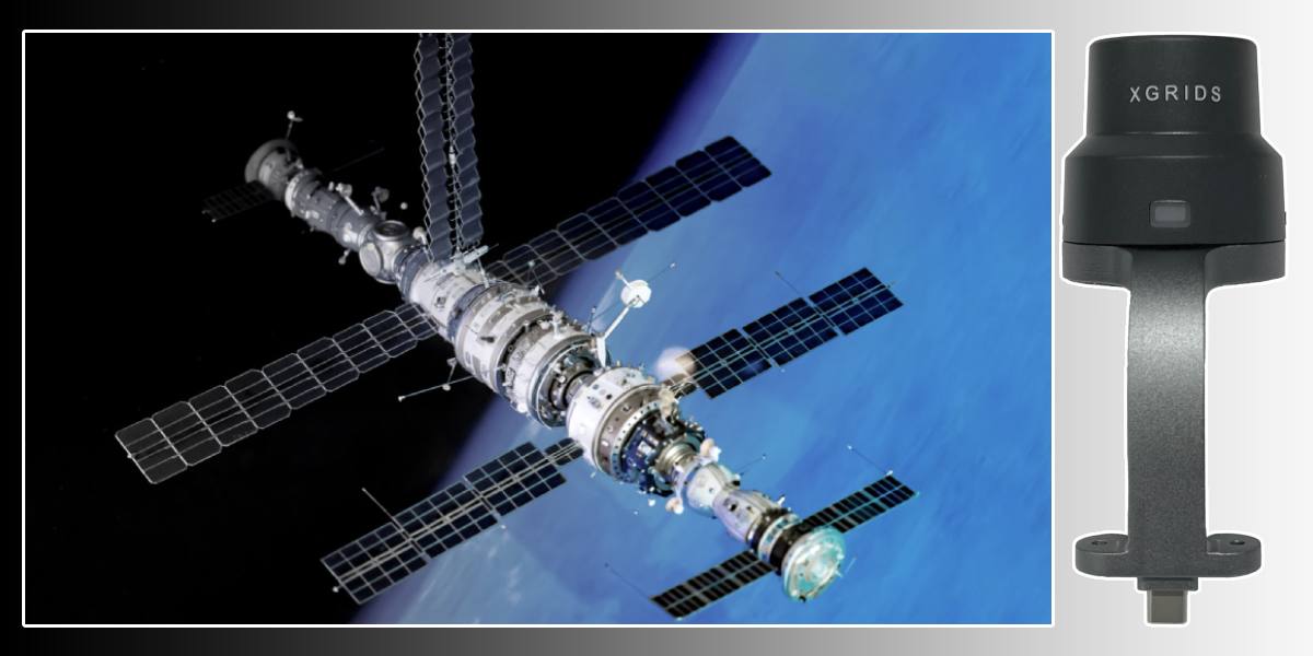
XGRIDS RTK Standard Kit High-Precision Positioning Module
XGRIDS RTK Standard Kit is an additional module for more precise positioning of large and very large objects. It's a tool for both professionals and beginners. This compact but incredibly powerful hardware complex is designed to provide centimeter-level accuracy in the most challenging conditions, turning mobile 3D scanners into high-precision geospatial tools. Forget the need for stationary reference points and endless post-processing — with this module, you get reliable and accurate data in real-time.
Technical specifications of the XGRIDS RTK Standard Kit module
| Parameter | Value |
| Supported GNSS satellite systems | GPS (L1 / L2 / L5), GLONASS (L1 / L2), BeiDou / BDS (B1 / B2 / B3), Galileo (E1 / E5a / E5b / E6b) |
| Positioning accuracy | Horizontal: ~0.8 cm + 1 ppm; Vertical: ~1.5 cm + 1 ppm |
| Module weight (Net) | ≈ 0.300 kg |
| Delivery package (Standard Kit) | RTK module; L2 Pro mounting bracket; set of screws for quick installation (fixed with two screws) |
| Operating temperature | −20 … +50 °C |
| Protection level / external conditions | Open conditions, with a stable GNSS signal. For challenging conditions (city, forest, etc.), the Survey Grade RTK version is recommended. |
| Accuracy without RTK signal | When switching to SLAM mode: approximately 5 cm for distances up to ~50 m, ~10 cm for ~100 m |
| Compatibility | XGRIDS Lixel L2 Pro series scanners |
| Installation scheme | Installed on L2 Pro via a mounting bracket, secured with two screws |
Technological advantages of the RTK Standard Kit satellite positioning module
The XGRIDS RTK Standard Kit module is the pinnacle of engineering in satellite positioning. It supports all major navigation systems, including GPS (L1/L2/L5), GLONASS (L1/L2), BeiDou (B1/B2/B3), and Galileo (E1/E5a/E5b/E6b). This multi-system capability ensures reliable and stable signal reception even in dense urban areas or forests, minimizing the risk of data loss.
One of the key features of the module is its high accuracy:
- Horizontal RTK accuracy: ±10 mm + 1 ppm (RMS)
- Vertical RTK accuracy: ±15 mm + 1 ppm (RMS)
This allows for data that meets the strict requirements of professional geodesy and cartography.
The module has an IP67 protection rating, making it resistant to dust and temporary immersion in water, allowing it to work in any weather. Its compact size (XRTK: 154x83.6 mm) and light weight (<1.5 kg without battery) make it extremely mobile.
Compatibility and integration with XGRIDS 3D scanners
The XGRIDS RTK Standard Kit module was designed specifically for seamless integration with XGRIDS mobile 3D scanners, significantly expanding their functionality. It is ideal for the following models:
XGRIDS RTK Standard Kit: the module is a natural addition to the L2, allowing the scanner with a range of up to 120 meters to obtain not only accurate but also geographically referenced point clouds.
XGRIDS Lixel K1 Standard Package: the module is designed for the Lixel K1 3D scanner. It transforms a compact handheld scanner into a powerful tool for high-precision mapping and geospatial data collection.
Integration with these scanners is quick and easy, minimizing the time needed to prepare the equipment for work and allowing you to start scanning immediately.
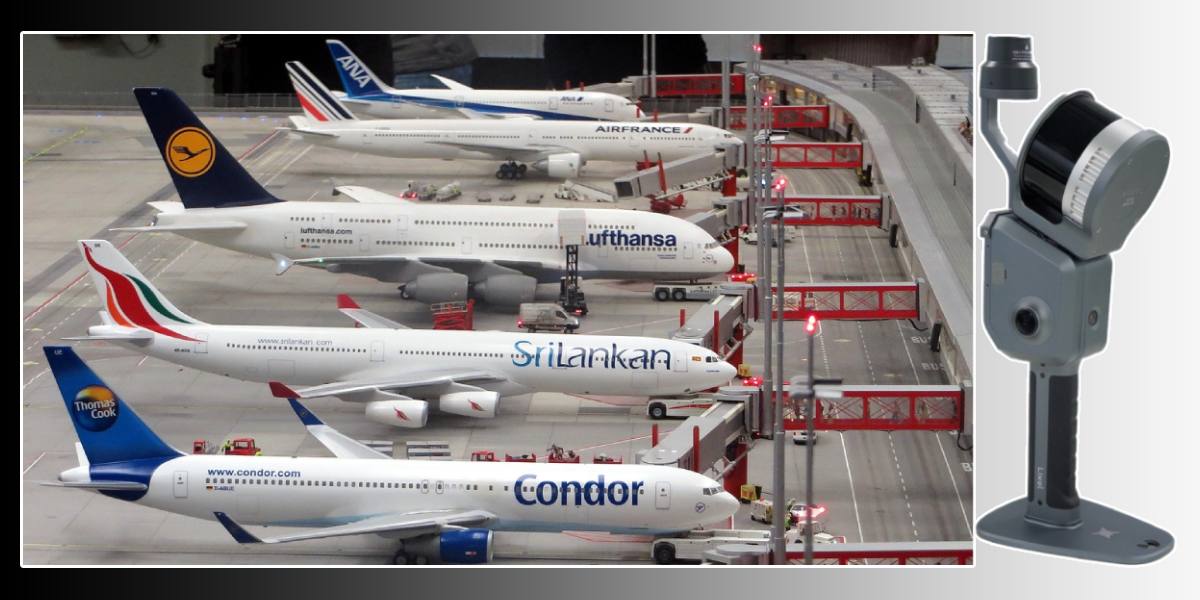
Areas of application for the RTK Standard Kit: needed wherever accuracy matters
The use of the XGRIDS RTK Standard Kit opens up new horizons for the application of mobile 3D scanners in various industries.
- Construction and architecture: with the module, you can scan buildings and structures for BIM modeling (Scan-to-BIM). The resulting point clouds will have precise geographic referencing, which is critically important for quality control of construction, monitoring deformations, and creating accurate "digital twins" of objects.
- Topography and cartography: the RTK module transforms the 3D scanner into a mobile geospatial solution. This allows for rapid topographical surveys, the creation of detailed relief maps, and the updating of cadastral plans with incredible accuracy.
- Mining and subsoil use: monitoring quarries, calculating the volume of extracted rock, creating maps of underground workings — all these tasks require high accuracy. The RTK module ensures reliable positioning even in complex terrain where traditional methods may be ineffective.
- Cultural heritage and tourism: digitizing architectural monuments and historical objects for their preservation and the creation of virtual tours is a task where not only detail but also the exact location of the object is important. The RTK module allows you to get geo-referenced models that can be integrated into GIS systems.

We recommend choosing the RTK Standard Kit for tasks that require quick, high-accuracy data acquisition from large objects. It's a reliable investment in the speed and highest accuracy of your projects. Unlike standard solutions that rely on inertial systems and SLAM algorithms, RTK positioning eliminates error accumulation over time and distance. This is a major problem with mobile scanning over large areas. With the RTK Standard Kit module, you get clean, accurate data from the very beginning, without having to spend hours on post-processing and correction.
The compactness and ease of installation make the XGRIDS RTK Standard Kit an ideal solution for those who value mobility and efficiency. It's not just an add-on, but a full-fledged extension of the 3D scanner's capabilities, opening the door to the most complex and critical projects. Call us: for detailed consultation, professional selection of 3D scanners and accessories, and free training.


